The Magic and Mysteries of Fishing the Gulfstream…Part 2 of 3 Part Series
To be successful offshore, the angler needs to consult the latest satellite imagery to see where the water regimes reside. Satellite sea surface temperature data is free, but there are commercial services that provide enhanced data services looking at sea surface temperature, water clarity, thermoclines, and timing of Gulfstream movement. I use a commercial firm myself.
So, what do you look for to find fish? The real key is to find the edges that separate current boundaries. These edges can be along the western wall of the Gulfstream, eddies and ring pockets broken off near the stream, or boundaries in the main axis of the Stream. However, it is important to note that inshore of the Stream are significant boundaries that commonly occur that may not have any relation to the Stream directly. These boundaries are very significant. Satellite imagery is the only way to know for sure where these are. Many of these regions will have the same characteristics such as temp and watercolor change and the presence of Sargasso weed lines.
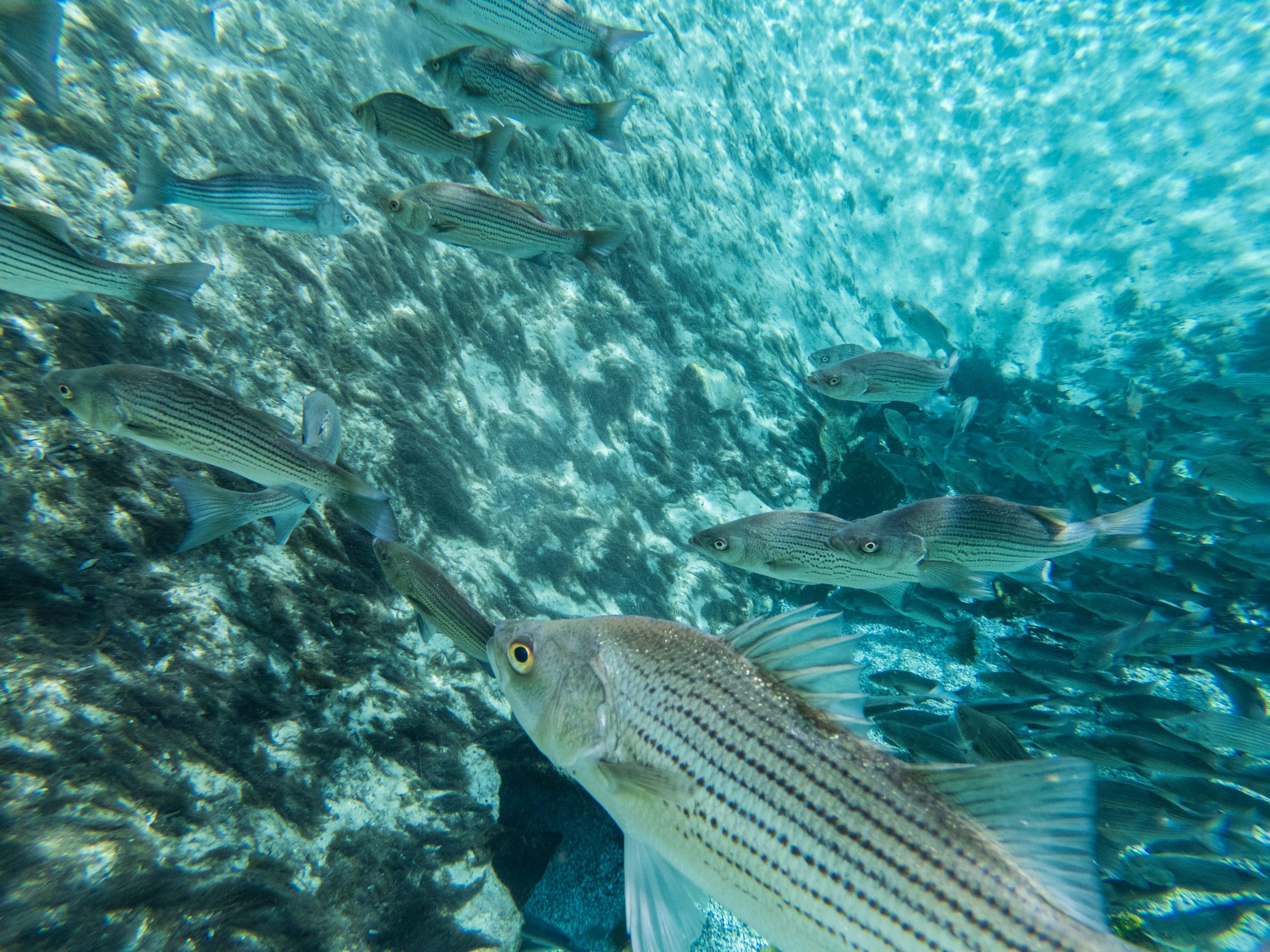
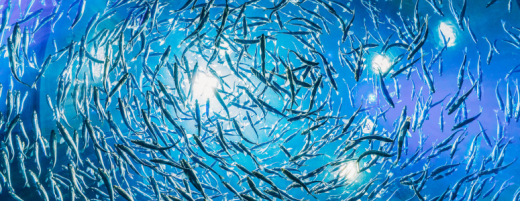
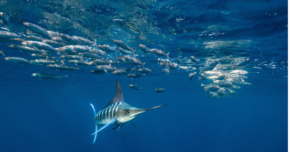
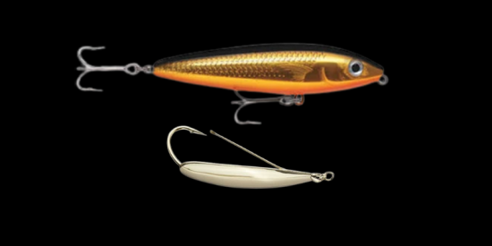
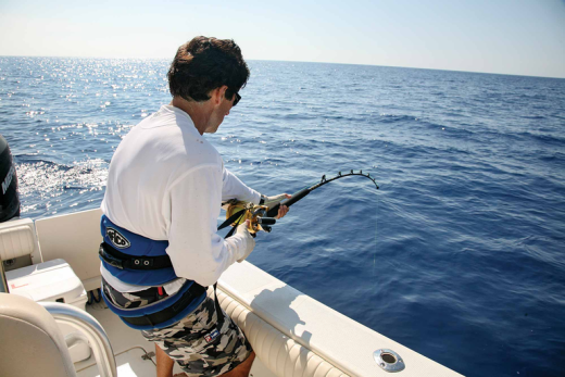
So, whenever you encounter a water regime boundary you are likely to find temperature breaks, water clarity changes, thermoclines, and the presence of Sargasso weed lines. The longer these conditions are present, the better the fishing. When boundaries are present in the general vicinity for 2 to 4 days, this allows bait (flying fish, squid, and weed lines) to congregate. Even in the hot summer days, a 1–2-degree temperature change can be significant. Gamefish are fast swimmers and hunt these boundaries often traveling 30 miles a day hunting food along these boundaries and pockets. Boundaries come and go as do weed lines form and others dissipate. It is certainly a dynamic environment and gamefish are well adapted to traveling in this rapidly changing environment. Some edges are very well defined over short distances while other boundaries, mostly comprised of mixed blue water, may take a few miles to transition from one distinct water mass to another. I do like mixed blue water areas too, especially when trolling and constantly hitting pockets of deep cobalt blue water streaks and pockets within less blue and dirtier-looking water. Often, your trolling wake will let you know. Weed lines are also extremely important. They are complete habitats in their own right providing food, cover, and the general location of water mass intersections. Mahi always seem to find a good weed line!!

Next Week: PART 3
You may be interested
Fishing For Speckled Trout Fishing……The Crucial Factors
Tim Wilson - July 21, 2026Fall fishing is just around the corner which means the fishing along the Southern coast will be at its best. That’s especially true when it comes to…
Inshore Sight Fishing…..Key Steps To Success
Tim Wilson - July 21, 2026As hot as it's been, it's hard to believe that the cooler days of the summer will be here before you know it. that means the…
Great Fishing Gear Made In the Carolinas
Tim Wilson - July 20, 2026The Carolinas boast a rich maritime heritage and are home to some of the finest saltwater and inshore fishing manufacturers in the world. From legendary offshore trolling…
Most from this category

From The Archives……..What Fish See And Hear And How It Impacts Inshore Fishing
Tim Wilson - July 17, 2026