The Coast That Won’t Stand Still
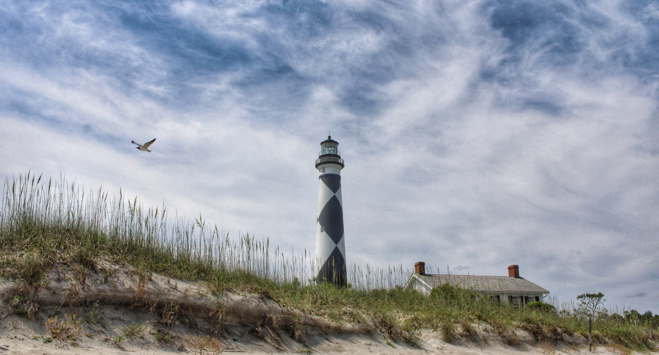
Imagine standing on a North Carolina beach, looking out across the Atlantic, with no idea that the sand beneath your feet was once the bottom of a navigable inlet. It may sound unlikely, but along our coast, waterways have opened, closed, and shifted over time. Some have moved hundreds of feet in a single year, while others have disappeared altogether.

Inlets are the gateways between the Atlantic Ocean and the sounds, rivers, and estuaries behind our barrier islands. Twice each day, tidal currents move water through these openings, carrying sediments, nutrients, and marine organisms between coastal habitats. They provide important pathways for fish and other aquatic life, support navigation, and help shape the beaches and marshes surrounding them.
But unlike the fixed boundaries we see on maps, inlets are constantly changing. Waves move sand along the shoreline, while tidal currents work to maintain channels between the islands. Storms can reshape these openings dramatically, sometimes creating entirely new passages or closing old ones. Over time, an inlet may migrate along the coast, widen or narrow, or shift back and forth around a relatively stable location.
North Carolina offers some remarkable examples. New Topsail Inlet has migrated southward for decades, historically averaging about 90 feet per year. Farther south, Tubbs Inlet, between Sunset Beach and Ocean Isle Beach, nearly tripled in width between 2013 and 2014.
Not all inlets begin the same way. Some, including Ocracoke and Bogue Inlets, developed along ancient river channels as sea level rose thousands of years ago. Others were created by storms, including Oregon Inlet, which opened when a powerful hurricane cut through the Outer Banks in 1846. Carolina Beach Inlet was created in 1952 by excavating a channel through the barrier island, separating what is now Masonboro Island from Carolina Beach.
And what about those inlets that disappeared? Mad Inlet, Old Topsail Inlet, and New Inlet are among those that have closed, leaving stretches of uninterrupted beach where ocean waters once flowed between the islands. The National Park Service reports that as many as 30 inlets have opened and closed along the Cape Hatteras National Seashore over the past 400 years.
North Carolina Sea Grant’s Shifting Shorelines: A Pictorial Atlas of North Carolina Inlets documented 22 tidal inlets along our coast, although that number is hardly permanent. Using historical aerial photographs and online resources, including Google Earth Timelapse, the atlas offers a fascinating look at how these waterways have changed over time. It’s one thing to read about shifting inlets, but quite another to watch the coastline transform before your eyes.
These changes are more than geographic curiosities. The same forces that shape our inlets also affect navigation, nearby shorelines, and coastal communities, sometimes with significant consequences.
You may be interested

Mistakes That Cost You Before You Ever Make a Cast
Tim Wilson - November 17, 2026Every Carolina angler knows the feeling: you fished hard, covered water, and went home with a cooler full of ice. Most of the time, the fish weren’t…

Five Carolinas Spots for Winter Redfish
Tim Wilson - November 17, 2026When the water drops into the low fifties and the shallows go quiet, a lot of anglers put the rods away. They shouldn’t. Winter is when redfish…
Finding Winter Bluefin Off Hatteras
Tim Wilson - November 17, 2026While the northeast wind rattles the dune grass and most of the East Coast has put its boats up on stands, a hardy fleet slips out of…
Most from this category